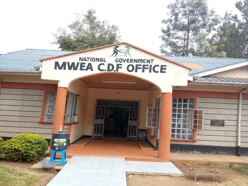
About Us
Mwea Constituency
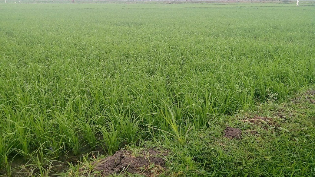
Mwea Constituency consists of two Sub-Counties namely Mwea East and Mwea West The current population is slightly above 226,000 (Two hundred and Twenty-Six thousand) and a voting population of about 123,000 (one hundred and twenty-three thousand) voters. There is a newly created settlement scheme which has attracted more people of diverse backgrounds.
ACHIEVEMENTS
During the financial year 2020/2021, Mwea Constituency had been able to construct classrooms and ablution blocks in various schools within the constituency. Renovation of classrooms has also been given priority. Within the same year, Mwea NGCDF fast tracked the installation of three phase electricity to Mwea Technical Training Institute in order to enhance practical skills to the youths. Thousands of needy students also benefited from bursaries.
EMERGING ISSUES
There is a dire need by community for some projects which have been devolved. Mwea NGCDFC would like to support the youths engaging in Agriculture to support the Big 4 Agenda of the President. This cannot happen since Agriculture is a devolved function. Resources allocated are not enough for the two sub-counties whereby the population is rising each day. Some schools initiated by Mwea NGCDF are lacking enough teachers thus affecting the population of the school.
Access NG-CDF Information on your Mobile


County Assembly Wards in Mwea Constituency :
Murinduko Ward
- County Assembly Ward No.:
- County Assembly Ward Name: Murinduko
- County Assembly Ward Population (Approx.):
- County Assembly Ward Area In Sq. Km (Approx.):
- County Assembly Ward Description: comprises part of
Tebere Ward
- County Assembly Ward No.:
- County Assembly Ward Name: Tebere
- County Assembly Ward Population (Approx.):
- County Assembly Ward Area In Sq. Km (Approx.):
- County Assembly Ward Description: comprises part of
Nyangati Ward
- County Assembly Ward No.:
- County Assembly Ward Name: Nyangati
- County Assembly Ward Population (Approx.):
- County Assembly Ward Area In Sq. Km (Approx.):
- County Assembly Ward Description: comprises part of
Gathigiriri Ward
- County Assembly Ward No.:
- County Assembly Ward Name: Gathigiriri
- County Assembly Ward Population (Approx.):
- County Assembly Ward Area In Sq. Km (Approx.):
- County Assembly Ward Description: comprises part of
Mutithi Ward
- County Assembly Ward No.:
- County Assembly Ward Name: Mutithi
- County Assembly Ward Population (Approx.):
- County Assembly Ward Area In Sq. Km (Approx.):
- County Assembly Ward Description: comprises part of
Kangai Ward
- County Assembly Ward No.:
- County Assembly Ward Name: Kangai
- County Assembly Ward Population (Approx.):
- County Assembly Ward Area In Sq. Km (Approx.):
- County Assembly Ward Description: comprises part of
Thiba Ward
- County Assembly Ward No.:
- County Assembly Ward Name: Thiba
- County Assembly Ward Population (Approx.):
- County Assembly Ward Area In Sq. Km (Approx.):
- County Assembly Ward Description: comprises part of
Wamumu Ward
- County Assembly Ward No.:
- County Assembly Ward Name: Wamumu
- County Assembly Ward Population (Approx.):
- County Assembly Ward Area In Sq. Km (Approx.):
- County Assembly Ward Description: comprises part of